Other
Cartography And The Rise Of Geospatial Technology Services
October 28th, 2020
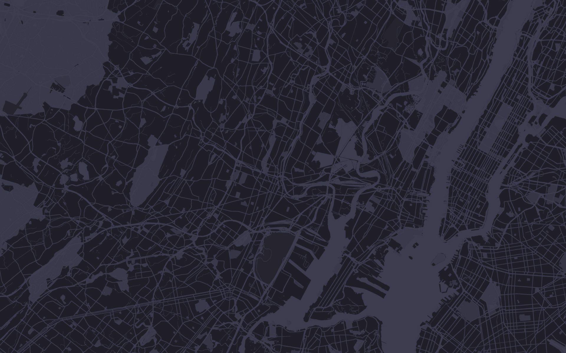
For centuries, cartography has helped map our ever-changing world. Cartography is the method through which maps are studied, created, and designed. It helps […]

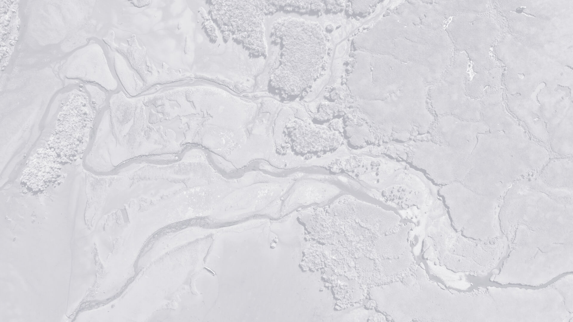
For centuries, cartography has helped map our ever-changing world. Cartography is the method through which maps are studied, created, and designed. It helps us to understand our place in the world, analyze positional relationships, and reflect on geography’s effect on our daily lives. As technology has evolved over the years, so have our cartographic capabilities, which in return, have to lead to modern-day geospatial technology services. Today’s cartography tools have taken mapmaking to new heights, mostly in terms of detail and accuracy. Mapmaking can employ a huge variety of methods and tools through the use of aerial photography, sensors, GPS, satellites, and GIS. Geo Owl’s uniquely qualified experts provide the appropriate experience and qualifications ensuring the highest quality in map production using these modern cartography tools:
Aerial Photography
Since cameras came into existence, people have been trying to get them into the sky to take aerial photos. The earliest attempts at this used balloons, kites, and even rockets to get photos from above looking down. In 1860, the oldest surviving aerial photograph was taken by James Wallace Black, tethered in a hot air balloon 2,000ft above Boston. Modern aerial photography now relies on advanced technology like helicopters and unmanned aerial vehicles (UAVs), more commonly known as drones.
Sensors
Sensors detect events, changes, and physical characteristics of a given area by transforming sound, light, heat, or motion into electrical signals. Those signals are collected and then transmitted to another device, usually a computer. Put simply, sensors collect data about the Earth’s surface. Because sensors can detect and log huge quantities of accurate data regularly, they are often used in change detection projects to compare discrepancies over time.
GPS
The Global Positioning System (GPS) is a series of over 24 satellites that orbit Earth regularly, each transmitting a unique signal. GPS receivers intercept those signals and perform distance-based measurements between various points, enabling a highly accurate system of navigation. Primarily used for navigation in aircraft, cars, boats, and mobile phones, GPS is also the primary tool for land surveying. Digital cartography has enabled the ubiquity of GPS systems, giving users the ability to use it to track everyday trends like traffic, mark coordinates for landmarks, chart a path from one location to another, and find their own location within a map.
Satellites
Satellites serve a variety of purposes, from spying on foreign adversaries to tracking weather and improving cell service, or as mentioned above, enabling the GPS network. Satellites have increased the speed and range at which mappable information can be collected. Surveys that once took months can now be done in minutes thanks to the help of satellites. Geo Owl provides experts in building and supporting advanced satellite communications equipment capable of communicating anywhere in the world. By continually capturing footage of the Earth’s surface, satellites have enabled the creation of thousands, if not millions, of maps used in agriculture, utilities, forestry, earth sciences, global change, and regional planning.
GIS
Geographic Information Systems (GIS), is location-based software used to view, organize, visualize, and analyze geospatial technology services data. GIS helps users wrangle their data, enabling a better understanding of positionally based patterns and relationships. In the last decade, cloud GIS systems have started to become more prevalent. Cloud GIS systems don’t offer the same level of deep scientific analysis; however, they are significantly more mobile-friendly, enabling users to take GIS with them wherever they go.
Modern Cartography
Whether you realize it or not, most people interact with the products of modern cartography on a daily basis. Just by turning on your smartphone and looking at your most commonly used apps, you might be surprised by how many of them rely on geospatial technology services like location-based services to cater to you. Navigation apps like Google Maps and Waze, ride services like Uber or Lyft, and food delivery apps like DoorDash all have some kind of mapping component. That being said, modern cartography goes far beyond simply finding your location on a map. With data from drones, satellites, and sensors, plus the robust capabilities of GIS mapping software – the future of cartography promises to be bright. Contact Geo Owl to learn more!