


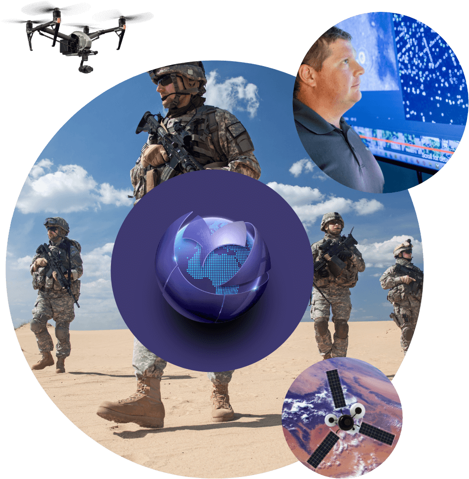
Overview
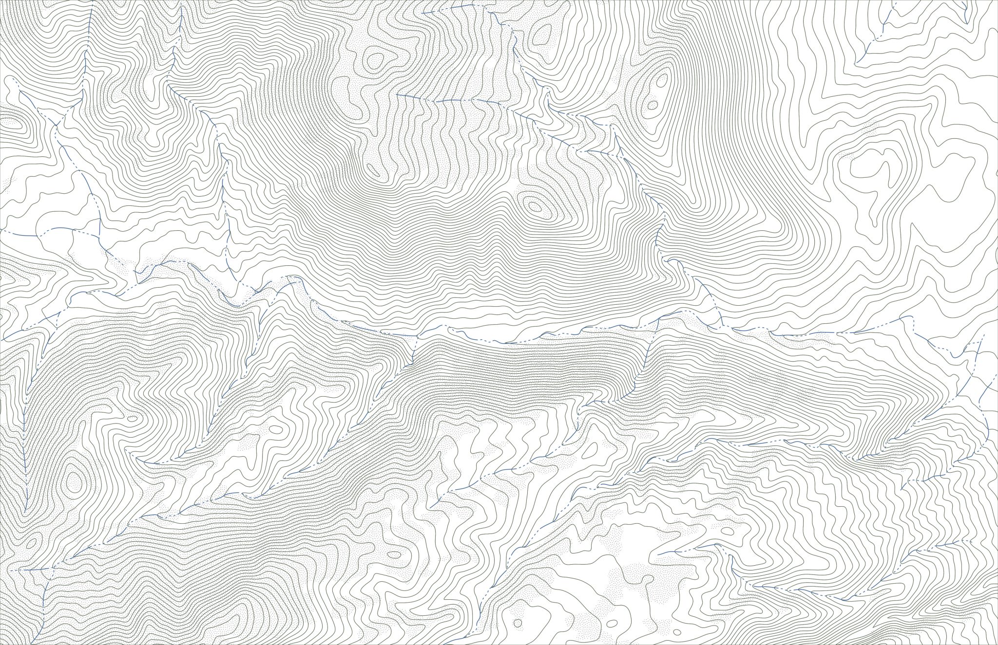
Geo Owl’s capabilities in geospatial mapping and unmanned aerial systems make it a valuable partner for state and local governments in a variety of public safety, emergency management, urban planning, and land records initiatives. The company’s aerial drones, equipped with Lidar, RGB, and Thermal sensors, can gather real-time data to support emergency response, disaster management, and infrastructure assessment. Geo Owl’s expertise in geospatial mapping and data analysis can provide highly
accurate maps and data to support informed decision-making in these critical areas. In addition, the company’s experience in land mapping can support urban planning efforts, providing data to inform zoning and land use decisions. The company’s commitment to quality, as demonstrated by its ISO 9001:2015 certification and CMMI Development Level 3 certification, ensures that state and local governments can trust Geo Owl to deliver reliable and high-quality services and products.

Public Safety
Geo Owl’s expertise in geospatial mapping and unmanned aerial systems make it a valuable partner for public safety initiatives. The company’s aerial drones, equipped with Lidar, RGB, and Thermal sensors, can gather real-time data to support emergency response, search and rescue operations, and crime scene investigations. This data can also be used to create detailed maps to support first responders, helping them navigate complex and challenging environments. In addition, Geo Owl’s expertise in data analysis can provide valuable insights to support law enforcement and other public safety agencies in their efforts to prevent and respond to crime.

Emergency Management
Geo Owl’s capabilities in geospatial mapping and unmanned aerial systems make it a valuable partner for emergency management initiatives. The company’s aerial drones, equipped with Lidar, RGB, and Thermal sensors, can gather real-time data to support disaster response and recovery efforts. This data can be used to assess damage, prioritize response efforts, and track changes over time.
In addition, Geo Owl’s expertise in data analysis and mapping can provide valuable insights to support emergency management professionals in their efforts to prepare for, respond to, and recover from natural and man-made disasters.

Urban Planning
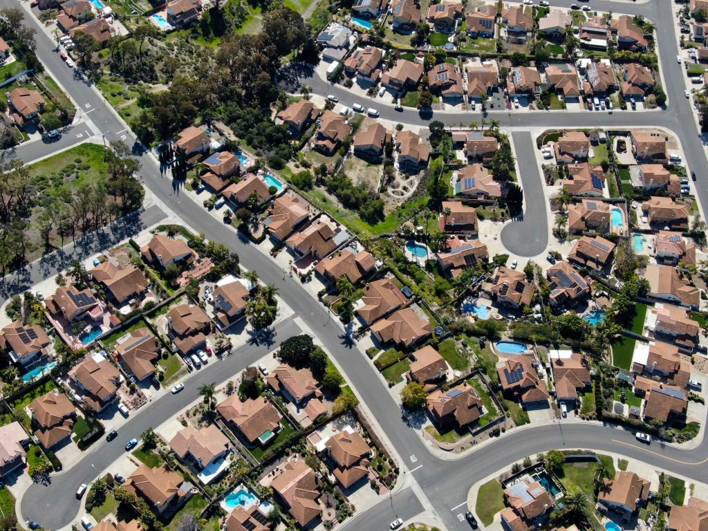
Geo Owl’s expertise in geospatial mapping and unmanned aerial systems make it a valuable partner for urban planning initiatives. The company’s aerial drones, equipped with Lidar, RGB, and Thermal sensors, can gather data to support the creation of highly accurate maps of urban areas. This data can inform zoning and land use decisions, helping cities and towns to plan for growth and development in an informed and sustainable manner.
In addition, Geo Owl’s expertise in data analysis can provide valuable insights to support urban planners in their efforts to address issues such as traffic flow, environmental impact, and community needs.
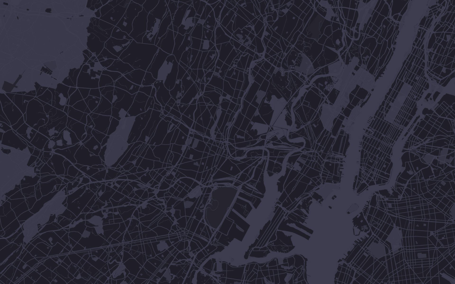
Land Records
Geo Owl’s expertise in geospatial mapping and unmanned aerial systems make it a valuable partner for urban planning initiatives. The company’s aerial drones, equipped with Lidar, RGB, and Thermal sensors, can gather data to support the creation of highly accurate maps of urban areas. This data can inform zoning and land use decisions, helping cities and towns to plan for growth and development in an informed and sustainable manner.
In addition, Geo Owl’s expertise in data analysis can provide valuable insights to support urban planners in their efforts to address issues such as traffic flow, environmental impact, and community needs.
More
Industries
Contact Us
Questions?
We will
always be
Vigilant