
Geographic Information Systems (GIS)
As experts in the Geographic Information Systems (GIS) sector, we use the latest GIS tools and technologies to create custom systems integrations, data migrations, and managed GIS platforms to fit your organization’s needs.
Learn More
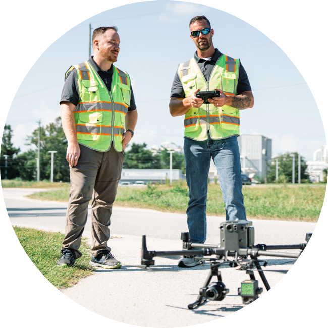
UAS Collection & Processing
Our FAA-licensed pilots stand ready to provide Unmanned Aircraft Systems (UAS) services with our tech-forward aerial drones + sensors, including LiDAR, RGB, Thermal video, for intelligence collection and data processing.
Learn More
Mapping & Geospatial
From imagery analysis to geospatial driven insights, Geo Owl’s team of experts uses ‘place-based’ technology to acquire, assemble, and analyze insights that gives your organization answers and solutions.
Learn More
Intelligence, Surveillance & Reconnaissance (ISR)
The GeoOwl team provides expertly executed tactical control by utilizing assets to the fullest for Intelligence, Surveillance, and Reconnaissance (ISR) Operations — we have successfully completed thousands of missions around the globe.
Learn More
Training
We deliver best in class instruction on the latest Intelligence, UAS, and Geospatial technologies and workflows. Our award winning training staff builds tailored courses to meet the demands of tomorrow.
Learn More