Our Mission:
Create A Future Where EVERYONE Prospers Through The Power Of Geospatial Technologies
Geo Owl Is A People-Centric Organization
We understand that providing the best solutions requires personnel unsurpassed in knowledge, experience, and dedication.
Our Goal Is To Be Recognized As The Best At What We Do
We strive to be a team our members are proud to be a part of. We continually strive toward excellence and seek the most difficult challenges our industry has to offer.
We Are A Premiere Provider Of Geospatial Services From Scientific Research To Intelligence Analysis
Geo Owl is a geospatial company at its core, our services and technology include the spectrum of disciplines from remote sensing analysis to software development, we are the location intelligence experts!
Our Values
WE TRULY CARE ABOUT THE PEOPLE THAT SUPPORT SOME OF THE WORLD’S MOST CHALLENGING TASKS
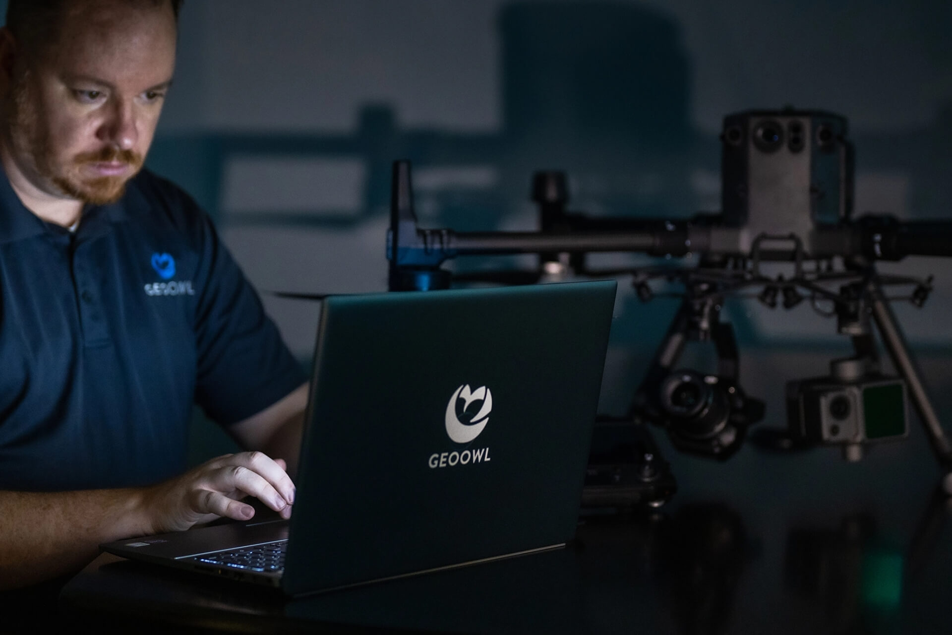
Geo Owl is a people centric organization. We value both the time and the hard work that our team members provide our customers and in return our customers gain the highest quality of service possible. The work we do is pretty serious but we love what we do and have fun doing it.
Our Team
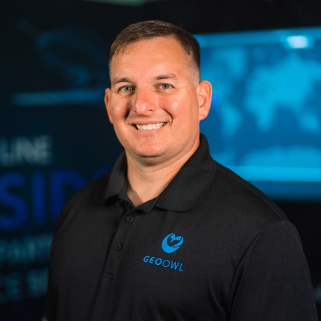
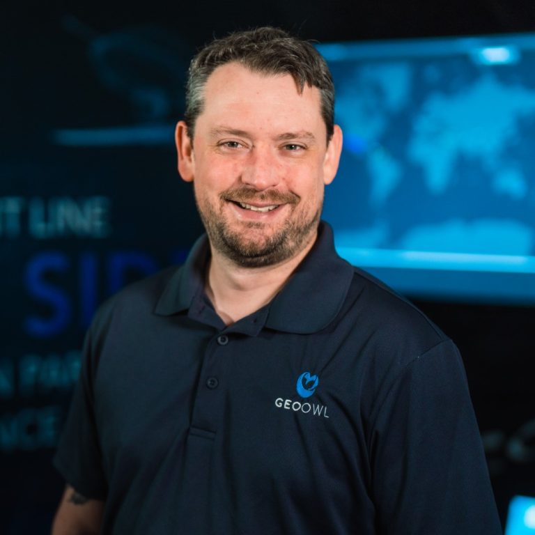
Nick is an 19+ year veteran of the defense and intelligence community specializing in the exploitation and operations of tactically and nationally derived ISR.
He has extensive operational knowledge and understanding in advanced concepts of ISR exploitation and the inter-dependencies of multi-disciplined analytics. He successfully led and managed intelligence operations teams to include training, documentation, and professional development on vital intelligence programs for the NGA, USSOCOM, and CENTCOM and drives Geo Owl’s strategic vision as a premier provider of geospatial solutions for our clients challenges.
In 2013, Nick started Geo Owl with a passion for the people that support these programs.
He holds a B.S. in Psychology from the University of North Carolina Wilmington and currently serves on the GEOINT Advisory Board at UNC Wilmington. He is an active member of the USGIF, NDIA, INSA, and NC ArcGIS Users Group.
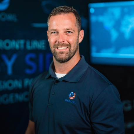
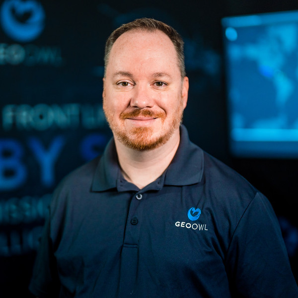
Jim is a 20+ year veteran in the defense and intelligence community performing intelligence, imagery, and systems analysis to identify deficiencies and propose solutions to C4I, doctrine, operations, and training to drive new growth and opportunity.
Prior to joining Geo Owl, Jim served as a U.S. Army Veteran with multiple deployments to Iraq. After serving in the army, he joined a large fortune 500 company, where he led and managed the ISR and Geospatial portfolio. This experience equipped him with the skills to know good, disciplined capture of new business.
He holds a B.S. in Business Administration from Campbell University, as well as a M.B.A. and M.S. in Leadership from Grand Canyon University. He is a member of PMI – Project Management Institute, is Project Management Professional (PMP©) certified and holds a professional certificate from NC State in Project Management.
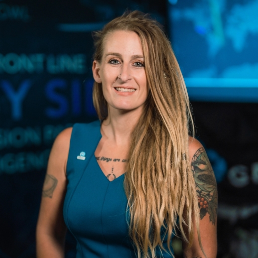
Kerry brings 10+ years experience crafting and implementing forward- thinking geospatial and remote sensing solutions. She leads the UAS Operations Team and builds tailored solutions for complex remote sensing challenges. Kerry is a FAA certified drone pilot with over 2000+ hours of flight time with various UAS assets and sensors.
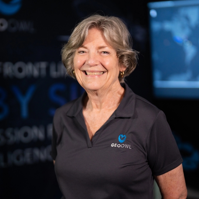
Pam brings 30+ years of experience working as an expert HR professional across various sectors. She has developed practical and impactful policies spanning all functions of the company.
Matt brings over 16 years of experience providing intelligence and security analysis and operations management. As the first Geo Owl employee, Matt successfully navigated the intricacies of helping build a two person company to what it is today. Today he serves as the company Swiss Army Knife continuing the design, develop, and deliver business processes across all facets of company operations.
Bryan is a 20-year veteran of the defense and intelligence community as an Information Technology and Electronic Warfare Specialist. He is a proven leader with experience in building and leading teams of multi-disciplinary IT and cyber security professionals for some of the nations most secret and vital missions.
He served multiple deployments to Iraq as a U.S. Army veteran and holds a Bachelor’s of Science in Business Administration: Management Information Systems from The University of North Carolina at Wilmington’s Cameron School of Business as well as a Master’s of Science in Management of Secure Information Systems from George Mason University’s Volgenau School of Engineering & School of Management.
Ron is a people focused, performance driven leader with over 20 years of experience in the defense and intelligence community. He has an extensive background in ISR operations, GIS sensors, intelligence analysis and business operations. Throughout his career, Ron has provided critical solutions and doctrine within the Intelligence community. As a Geospatial SME, Ron also developed numerous high level intelligence training courses currently being utilized across the DOD.
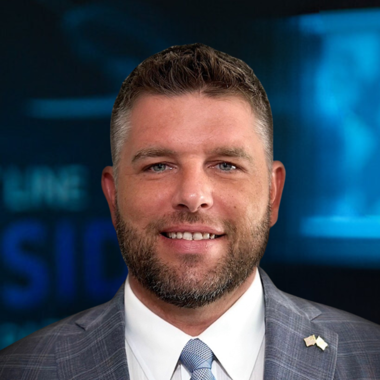
Vice Adm. Bob Sharp brings a wealth of experience and a distinguished track record in both operational and strategic intelligence roles that will significantly enhance our geospatial intelligence capabilities. His leadership roles in deploying geospatial intelligence (GEOINT) on a global scale, notably as the seventh director of the National Geospatial-Intelligence Agency (NGA), equip him with unparalleled insights into the integration of GEOINT with defense and intelligence operations. His tenure at the NGA, a cornerstone of the national Intelligence Community, underscores his adeptness in leveraging geospatial data to support national security and defense strategies.
Sharp’s extensive background, which includes commanding the Office of Naval Intelligence and directing the National Maritime Intelligence-Integration Office, alongside operational deployments that spanned from the USS Ranger to leading intelligence operations in Afghanistan, highlights his ability to navigate complex intelligence frameworks and deliver results in high-stakes environments. His strategic intelligence roles have fostered deep connections across the defense and intelligence communities, facilitating enhanced collaboration and innovation in geospatial intelligence services.
His accolades, such as the Vice Admiral Rufus L. Taylor Award for instructional excellence and the Naval Intelligence Foundation Award for operational intelligence support, reflect his commitment to excellence and leadership in the field. Sharp’s addition to our team promises not only to elevate our operational capabilities but also to drive forward our strategic objectives, ensuring that our geospatial intelligence solutions remain at the forefront of technological and strategic advancements.

Join
Geo Owl
Open Positions Listing

