
Overview
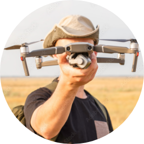
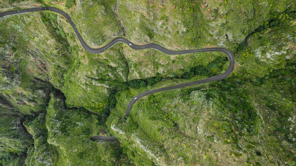
Geo Owl’s advanced capabilities in geospatial mapping and unmanned aerial systems have numerous applications in environmental engineering, scientific research, land mapping, and water management. The company’s aerial drones equipped with Lidar, RGB, and Thermal sensors can collect real-time and precise data to inform environmental assessments and monitor land use changes. This data can be used to inform conservation and preservation efforts, as well as support the development of sustainable land-use plans. In scientific research, Geo Owl’s
drones can be used to gather data on biodiversity, geology, and other important environmental factors. In land mapping, Geo Owl can provide highly accurate maps and data, which are crucial for informed land-use planning and management decisions. In water management, Geo Owl’s drones can monitor and map water resources, enabling more efficient use and management of these vital assets. With its innovative technology and expertise, Geo Owl is at the forefront of supporting a sustainable future.

Environmental Engineering Support
Geo Owl, as a service-disabled veteran owned business and a partner of Esri using ARCGIS, is well equipped to provide innovative and high-quality solutions for environmental support. The company’s aerial drones equipped with advanced sensors such as Lidar, RGB, and Thermal can gather real-time data to inform environmental assessments, monitor land use changes, and support sustainable land-use planning. This data can also be used for scientific research to advance understanding of our planet and its resources.
Additionally, Geo Owl’s expertise in geospatial mapping can provide highly accurate maps and data, which are crucial for informed land-use planning and management decisions. Furthermore, the company’s commitment to quality, as demonstrated by its ISO 9001:2015 certification and CMMI Development Level 3 certification, ensures that clients can trust Geo Owl to deliver reliable and high-quality services and products. With its innovative technology and dedication to serving those who have served our country, Geo Owl is poised to make a significant impact in the field of environmental support.
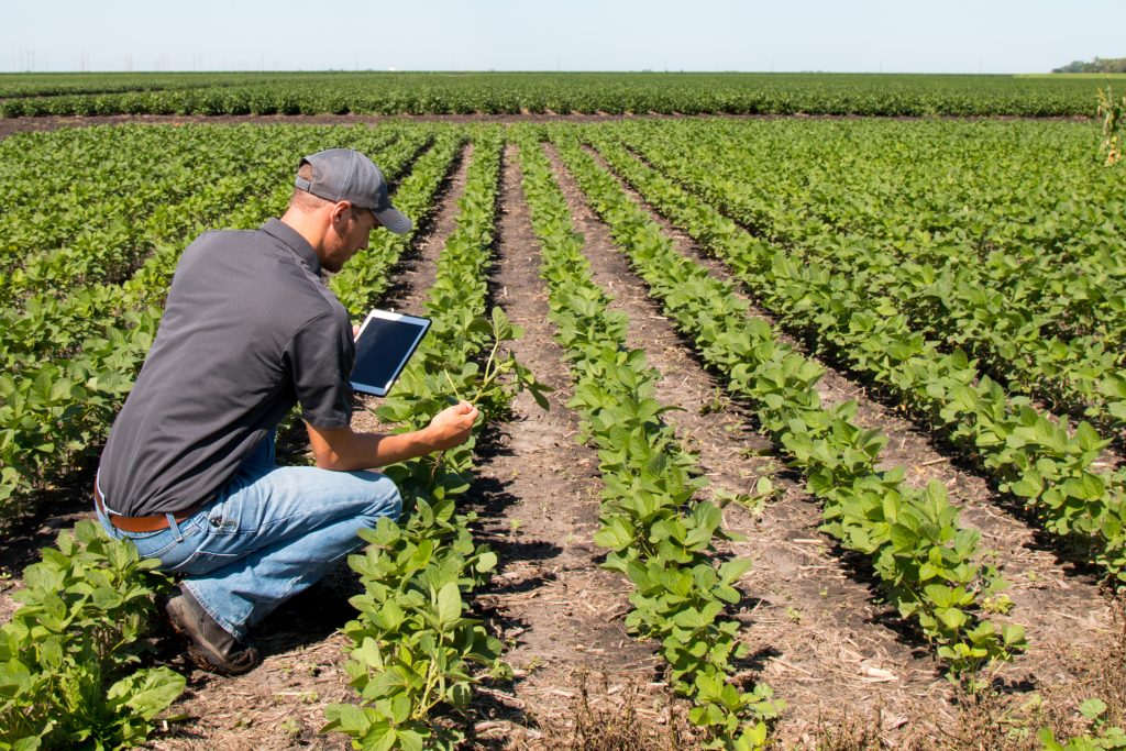
Scientific Research
Geo Owl’s advanced capabilities in geospatial mapping and unmanned aerial systems make it a valuable partner for scientific research. The company’s aerial drones, equipped with Lidar, RGB, and Thermal sensors, can gather real-time data on biodiversity, geology, and other environmental factors. This data can be used to advance understanding of our planet and support scientific inquiry in fields such as environmental science, geology, and ecology.
Geo Owl’s expertise in geospatial mapping and data analysis can provide detailed and accurate maps of study areas, enabling researchers to better understand and analyze the relationships between different elements of an ecosystem.
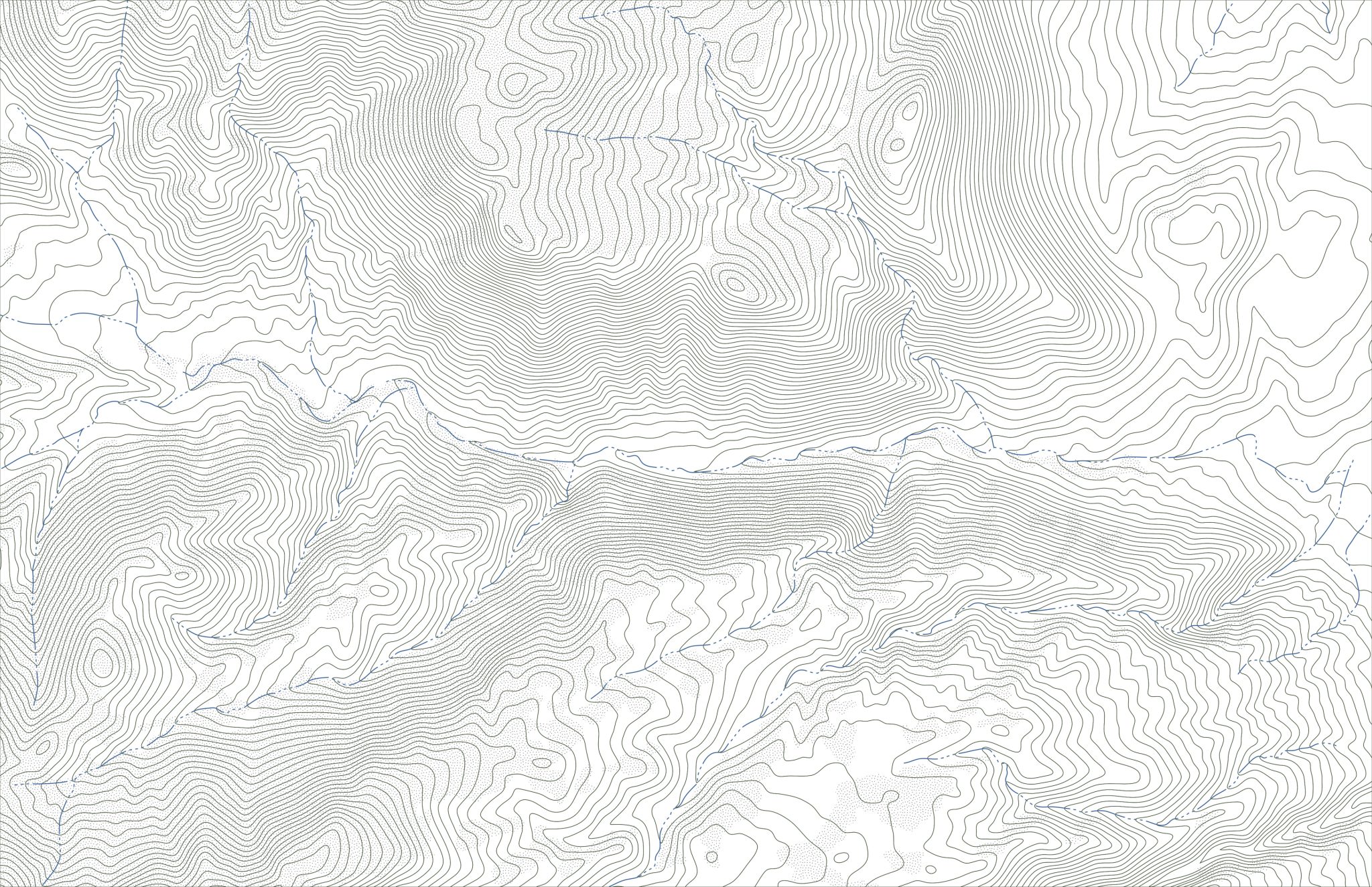
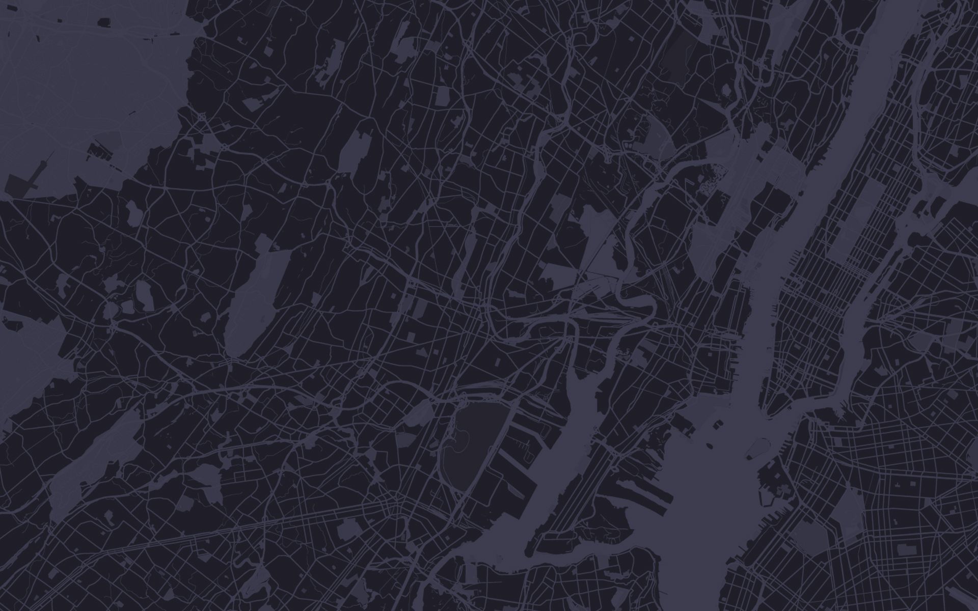
Land Mapping
Geo Owl’s expertise in geospatial mapping and unmanned aerial systems make it a valuable partner for land mapping projects. The company’s aerial drones, equipped with Lidar, RGB, and Thermal sensors, can gather real-time data to produce highly accurate maps and data. This data can be used for informed land-use planning and management decisions, as well as environmental assessments and scientific research. Geo Owl’s maps are not only accurate but also provide a level of detail and insight that can be difficult to obtain through traditional land-mapping methods.
The company’s commitment to quality, as demonstrated by its ISO 9001:2015 certification and CMMI Development Level 3 certification, ensures that clients can trust Geo Owl to deliver reliable and high-quality services and products. With its cutting-edge technology and expertise, Geo Owl’s expertise shines in the field of land mapping, providing innovative solutions for clients in a wide range of industries.

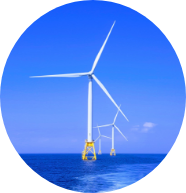
Water Management
Geo Owl’s capabilities in geospatial mapping and unmanned aerial systems make it a valuable partner for water management projects. The company’s aerial drones, equipped with Lidar, RGB, and Thermal sensors, can gather real-time data to inform decisions related to water resource management and conservation.
This data can also be used to monitor water quality and track changes over time. Geo Owl’s expertise in geospatial mapping and data analysis can provide highly accurate maps and data to support informed decision-making in the field of water management.
More
Industries
Contact Us
Questions?
We will
always be
Vigilant