

Overview
Geo Owl, a cutting-edge geospatial mapping and unmanned aerial systems company, leverages its aerial drones equipped with advanced sensors such as Lidar, RGB, and Thermal to support essential infrastructure industries like Power Utilities, Water Utilities, Telecommunications, and Transportation. These drones allow for real-time and precise data collection, enabling accurate assessments and mapping of infrastructure assets. This information can then be used to inform maintenance and improvement plans,
ensuring that these crucial systems are running at peak efficiency. Furthermore, the drones’ ability to access hard-to-reach areas and gather data from previously unavailable perspectives can greatly enhance the speed and accuracy of infrastructure inspections and assessments, reducing downtime and ensuring public safety. With Geo Owl’s innovative solutions, these industries can effectively manage their assets, minimize downtime, and maintain the reliability of their systems for their customers.
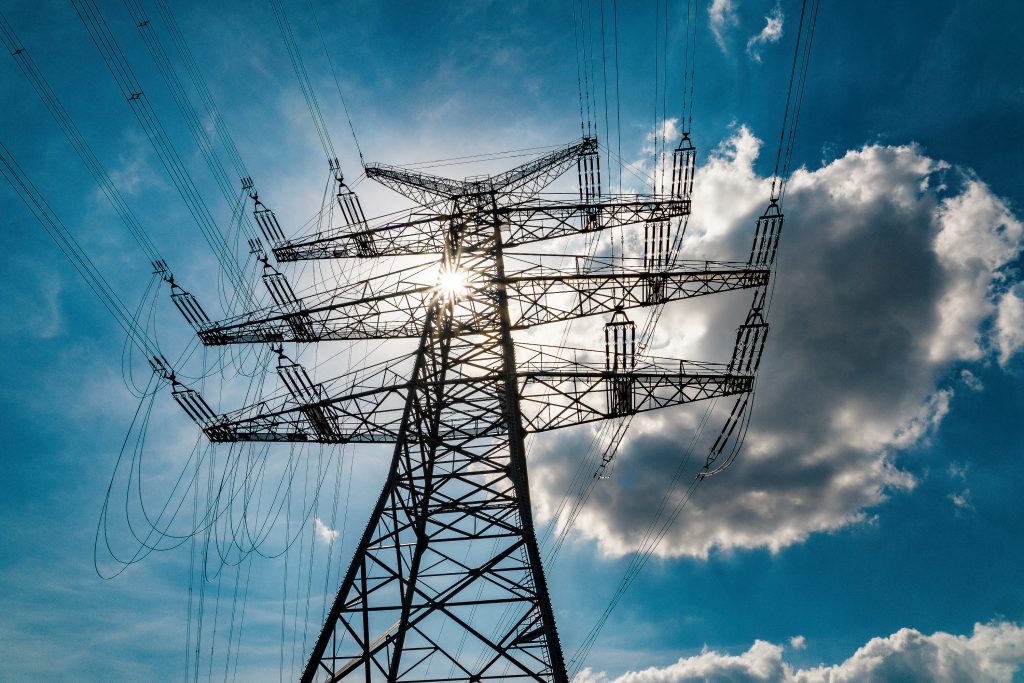
Power Transmission & Distribution
Geo Owl can support power and distribution companies by providing aerial inspections of transmission lines and distribution networks, enabling real-time monitoring and predictive maintenance. This leads to improved operational efficiency and reduced downtime.

Water Utilities
Geo Owl’s aerial drones equipped with sensors can inspect and map water distribution systems, pipelines, and reservoirs, providing real-time data and insights to improve the management and maintenance of these critical assets.

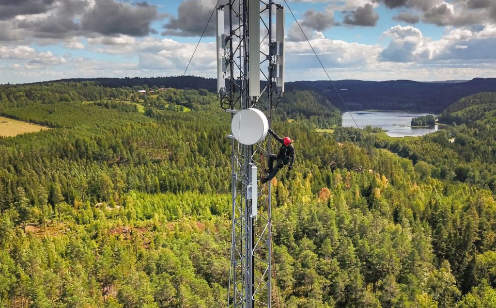
Telecommunication
Geo Owl can support telecommunication companies by providing aerial inspections and mapping of communication towers, enabling real-time monitoring and maintenance of these crucial assets. This leads to improved network reliability and reduced downtime.

Transportation
Geo Owl’s aerial drones equipped with advanced sensors can provide real-time data and insights into transportation infrastructure, such as roads, bridges, and tunnels. This data can inform maintenance and improvement plans, ensuring the safe and efficient operation of these assets for the public.

More
Industries

Contact Us
Questions?
We will
always be
Vigilant