What is Geospatial Technology? According to the American Association for the Advancement of Science, geospatial technology is a term used to explain the […]
What is Geospatial Technology?
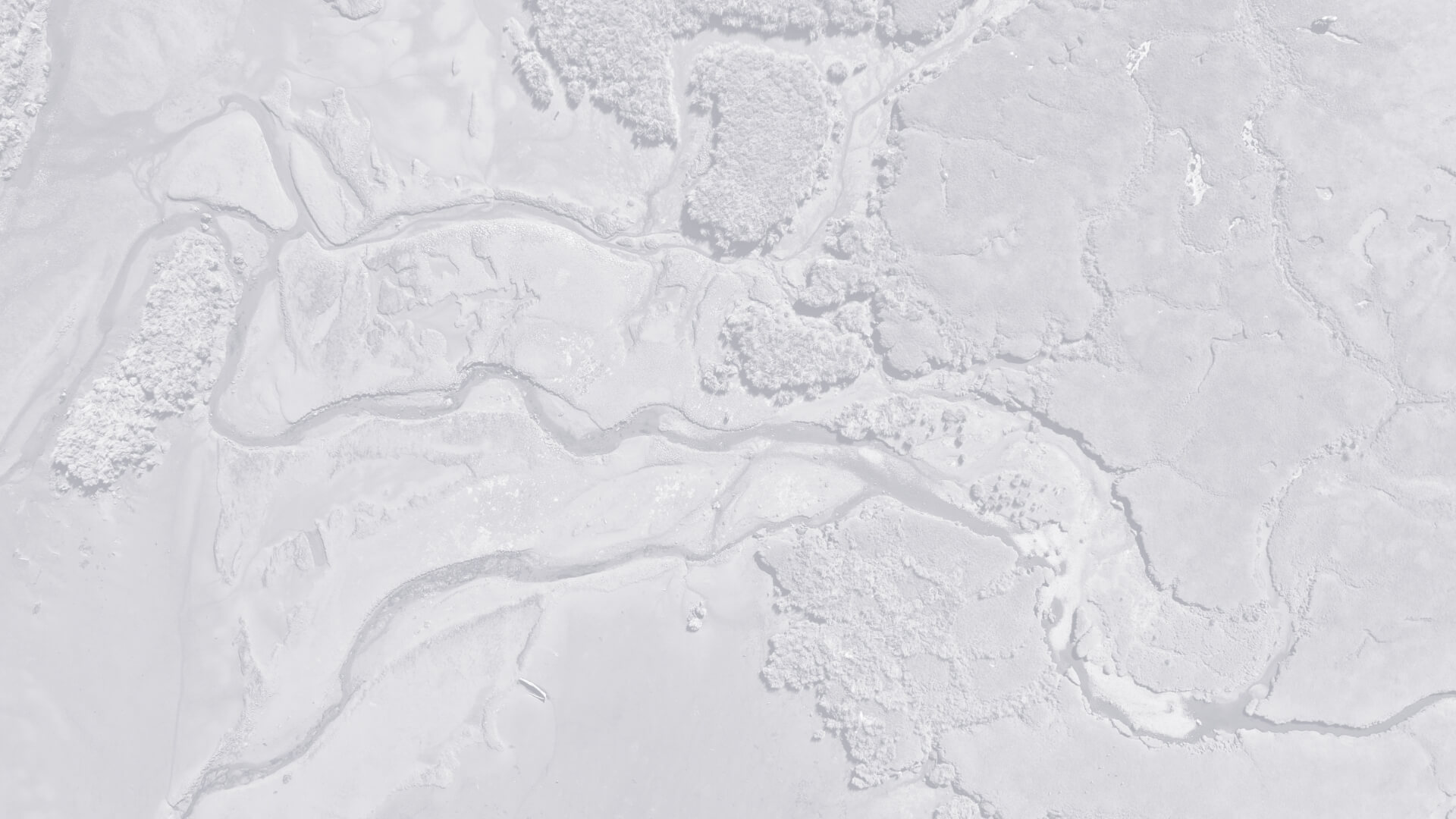
According to the American Association for the Advancement of Science, geospatial technology is a term used to explain the collection of tools to understand data gathered from all different geographic information systems (GIS) such as social media location tags, mobile devices, and satellite imagery. This data is then displayed on a map and used to gain a better understanding of spatial and temporal patterns. The information can be derived from space or airborne cameras, land cameras, satellites, and software programs such as Google Earth.
What Does It Do?
The data from geospatial technology is generated using geographic coordinates (latitude and longitude) and other geo-referenced locations (street addresses, zip codes, and forest stand identifiers, etc.) Geographic data models and maps are easier to view and understand than spreadsheets and enable data to be interpreted visually versus weeding through text-based data tables or spreadsheets. Geospatial intelligence can be used to model climate change, improve crisis management responses, increase the accuracy of weather forecasting, empower broader use of sales data, display environmental information, and many other use cases where deploying location intelligence is necessary.
But Why is it Necessary?
Geospatial data can be applied to nearly anything that occurs. Everything happens somewhere and that somewhere is the geospatial data. Without an understanding of where the context of events is lost and the ability to use data is severely limited. In a world of constant motion, geospatial technologies allow companies and organizations to break down their information to understand it spatially and visually for better decision-making and a broader understanding of their data.
Who Uses It?
Companies that rely on exact geographical locations use geospatial technology daily, such as the military or other government entities like the National GeospatialIntelligence Agency (NGA) or NASA. Geospatial data includes location in addition to traditional types of data.
- Geospatial Solutions enable the advancement of public safety. When an emergency occurs, a 911 communicator can leverage geospatial technology to locate the closest police officer, EMT, or firefighter.
- You probably rely on geospatial intelligence every day. Uber and other digital map users rely on geospatial technology to avoid construction zones and decrease travel times to your destination. Data can be crowdsourced from other users and the fastest route is calculated using auto-generated route analysis, a common geospatial function.
- Insurance companies use geospatial technology to analyze flood zone risks and other geological based risk factors for environmental hazards. This analysis is built into insurance policies and is reflected in insurance rates.
- Starbucks, McDonald’s, and Dollar General all use geospatial data when deciding where to build their next locations. They analyze population density, average income, traffic patterns, proximity to public transportation, and other nearby businesses to determine suitable sites. They leverage geospatial technology to understand the location intelligence associated with their site selections and leverage geospatial data to perform multi-varied analysis before making a final selection.
- Social media and smartphone applications are rampant with geospatial technology. Each picture you take includes location metadata that can be used to map out exactly where the photo was taken. Facebook, Instagram, and Twitter all use location data and assign your location each time you post something. This enables these companies to better understand where events occur and better understand how users engage with their applications.
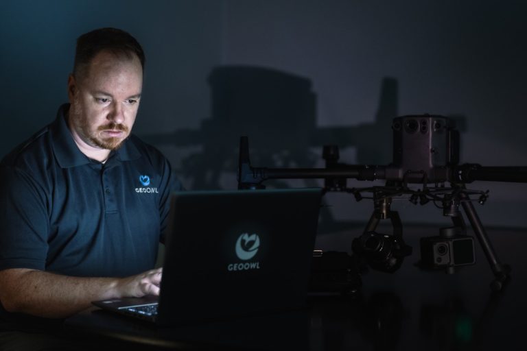
While geospatial technologies can be used by many different companies for a wide variety of reasons, ranging from social media data to preserving nature, Geo Owl uses the technology for specific purposes. In ISR tactical initiatives, geospatial technologies are used to gather additional information overseas and protect our troops in battle. The Geospatial Technology team at Geo Owl is set and ready to work with any ISR tactical initiative to gather information and data to inform our front line of defense. Our professional analysts in the Geo Owl office are prepared to work alongside military initiatives, to be aware of our surroundings, and plan for what the future may hold. Contact Geo Owl today for your geospatial technology needs.