Bkg-Img

Other

What is Geospatial Analysis and Technology?

Geospatial analysis is the use of computerized methods to analyze and display data that has a geographic component.

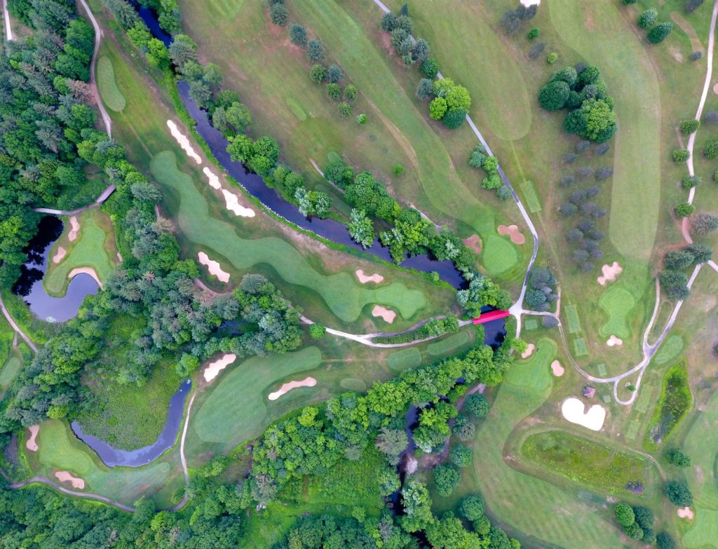
 

Geospatial analysis is the use of computerized methods to analyze and display data that has a geographic component. This can include data such as the locations of cities, the shapes of rivers, or the distribution of a particular species of animal. Geospatial technology refers to the tools and techniques used to perform this kind of analysis, such as geographic information systems (GIS) and global positioning systems (GPS). These technologies allow us to visualize and analyze data in a spatial context, which can provide valuable insights that would not be apparent from the raw data alone.
Bkg-Img

MORE INSIGHTS

Contracts

Careers in OSINT: How to Land a Job in Open Source Intelligence (and a Deployed Opportunity You Should Know About)

As global threats continue to evolve, the role of Open Source Intelligence (OSINT) in national security has never been more critical. Whether you’re […]

Continue Reading

Spotlight

Geo Owl Uniquely Positioned for New DoD Modernization Efforts

Geo Owl is uniquely positioned to support the Department of Defense (DOD) modernization initiatives through our advanced geospatial intelligence (GEOINT) and artificial intelligence […]

Continue Reading

Other

Cleared Intelligence Jobs in North Carolina

Cleared Intelligence Jobs in North Carolina: Join the Mission with Geo Owl Are you a skilled intelligence professional with a security clearance looking […]

Continue Reading

Other

TS/SCI GEOINT Analyst Jobs

Career Opportunities: Navigating the Landscape of TS/SCI GEOINT Analyst Jobs In today’s rapidly evolving geopolitical environment, the demand for skilled GEOINT (Geospatial Intelligence) […]

Continue Reading