- Six-hour delivery window
- Eight areas of interest
- High-altitude urban terrain
 Start a conversation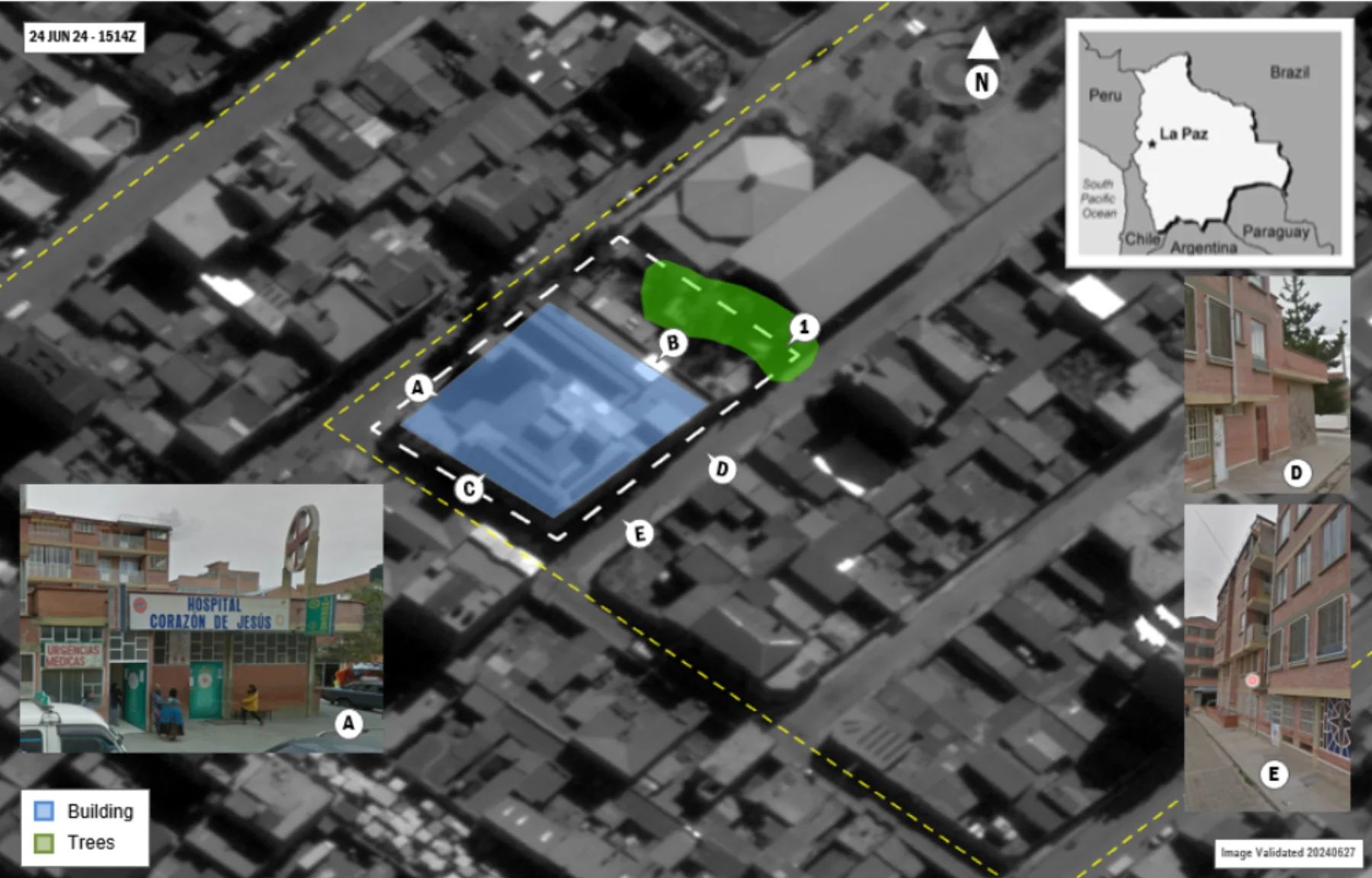
Solutions library
SAR AnalysisLa Paz, Bolivia
NEO / BOLIVIA
A six-hour, eight-area intelligence sprint resolved critical infrastructure, landing zones, and evacuation routes.
MISSION PROFILE01 / 08
01 / OPERATIONAL BRIEF
THE
OBJECTIVE.
Identify optimal helicopter landing zones, critical buildings, and viable routing to the airport for noncombatant evacuation planning.
- Commercial SAR
- Street-level imagery
- Social media
- Authoritative base maps
02 / ANALYTICAL METHOD
Resolve candidate infrastructure across each AOI
Validate entrances and access points with street-level context
Model routes from protected locations to air evacuation nodes
03 / MISSION OUTCOMES
WHAT
CHANGED.
Reviewable intelligence built for the next decision, not the final presentation.
Critical infrastructure and access points identified
Reference photography integrated into the intelligence product
Optimal routes delivered for mission planning
START WITH
THE MISSION.
Bring the requirement. Geo Owl brings intelligence professionals, GEOINT expertise, mission data, and technology to help you collect, understand, and act.
Bring Us Your Mission View our capabilities