- 24-hour turnaround
- Four areas of interest
- Weather-obscured collection
 Start a conversation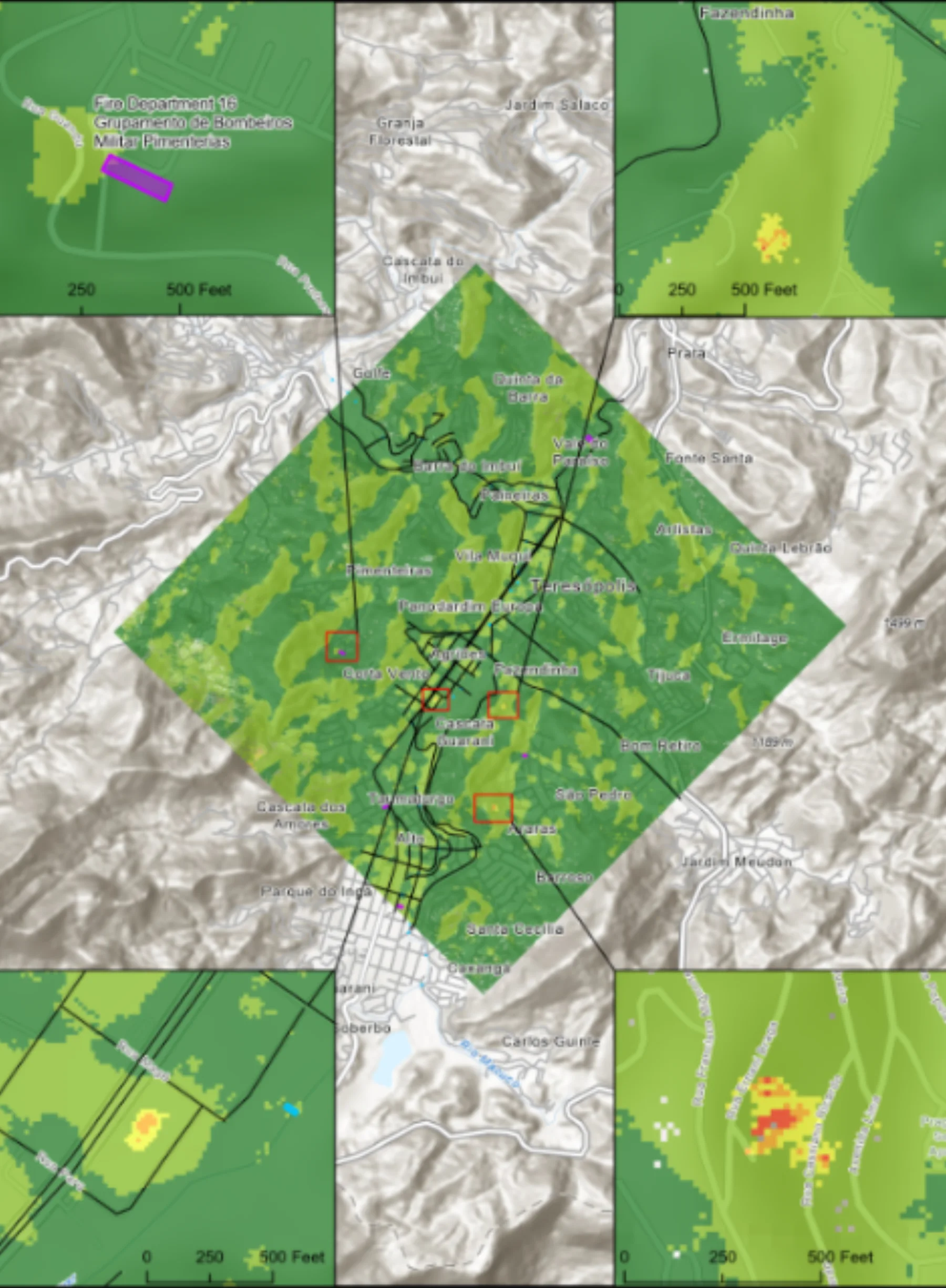
Solutions library
SAR AnalysisBrazil
FLOOD RISK / BRAZIL
A 24-hour response fused radar change detection with infrastructure extraction across four areas of interest.
MISSION PROFILE04 / 08
01 / OPERATIONAL BRIEF
THE
OBJECTIVE.
Assess critical infrastructure exposure following extended heavy rainfall and rapidly changing water conditions.
- Open and commercial SAR
- Electro-optical imagery
- Road, bridge, and building data
02 / ANALYTICAL METHOD
Run radar-based water change detection
Extract transportation and built infrastructure
Prioritize assets intersecting observed or likely inundation
03 / MISSION OUTCOMES
WHAT
CHANGED.
Reviewable intelligence built for the next decision, not the final presentation.
Flood extent contextualized around infrastructure
Roads, bridges, and buildings prioritized
Decision-ready response product delivered inside one day
START WITH
THE MISSION.
Bring the requirement. Geo Owl brings intelligence professionals, GEOINT expertise, mission data, and technology to help you collect, understand, and act.
Bring Us Your Mission View our capabilities