- Continental-scale geography
- Persistent cloud cover
- Two-year temporal baseline
 Start a conversation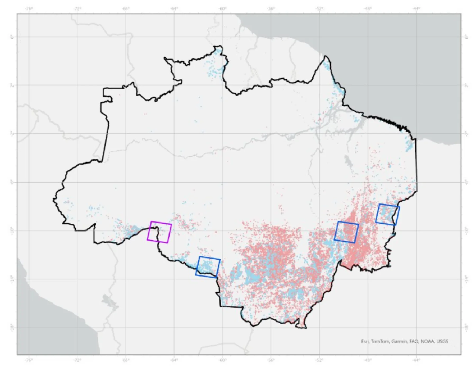
Solutions library
EnvironmentalBrazilian Amazon
FOREST CHANGE / BRAZIL
A two-year change model measured forest loss and regrowth across a vast, cloud-prone operating environment.
MISSION PROFILE03 / 08
01 / OPERATIONAL BRIEF
THE
OBJECTIVE.
Quantify forest loss and growth across the Brazilian Amazon from October 2021 through September 2023.
- SAR imagery and derivatives
- Elevation data
- Global forest change data
- Annual surface-water data
02 / ANALYTICAL METHOD
Normalize multi-date radar observations
Separate persistent water and terrain effects
Classify and aggregate areas of loss and gain
03 / MISSION OUTCOMES
WHAT
CHANGED.
Reviewable intelligence built for the next decision, not the final presentation.
164,081 acres of forest loss measured
15,491 acres of forest gain measured
Repeatable regional change methodology delivered
START WITH
THE MISSION.
Bring the requirement. Geo Owl brings intelligence professionals, GEOINT expertise, mission data, and technology to help you collect, understand, and act.
Bring Us Your Mission View our capabilities