- Multiple production scales
- Strict schema requirements
- Large-volume feature maintenance
 Start a conversation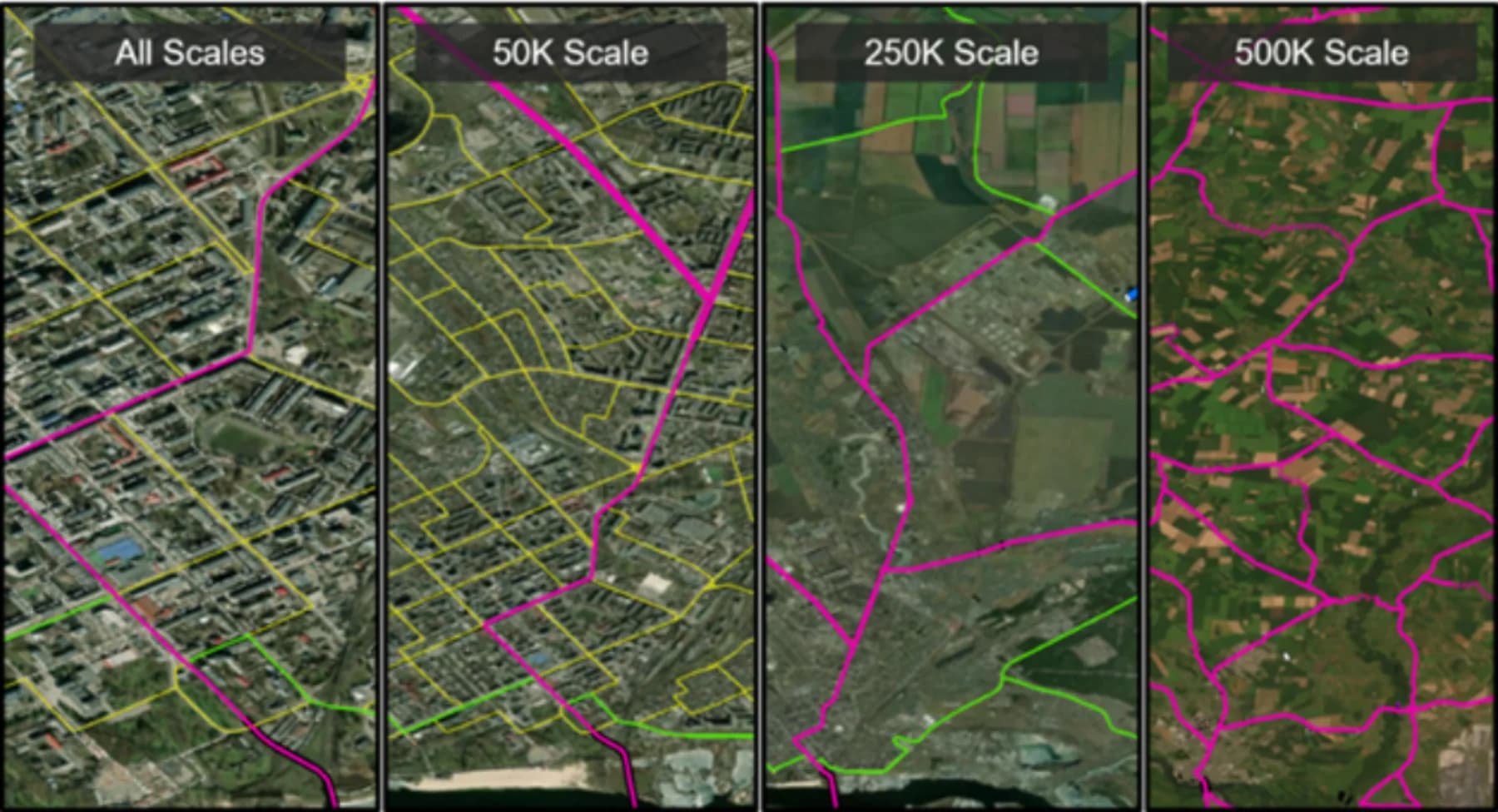
Solutions library
CartographyMulti-theater
TDS / CARTOGRAPHY
Authoritative vector data was conditioned, enriched, and maintained across scales for dependable operational use.
MISSION PROFILE06 / 08
01 / OPERATIONAL BRIEF
THE
OBJECTIVE.
Condition and maintain topographic data stores so geometry, attribution, and relationships remain reliable across mapping scales.
- Authoritative vector data
- Current imagery
- Administrative boundaries
- Source metadata
02 / ANALYTICAL METHOD
Validate geometry and topology
Normalize feature attribution to TDS specifications
Reconcile boundaries and source currency across scales
03 / MISSION OUTCOMES
WHAT
CHANGED.
Reviewable intelligence built for the next decision, not the final presentation.
Production-ready topographic data
Improved attribution completeness
Consistent boundaries from detailed to regional scale
START WITH
THE MISSION.
Bring the requirement. Geo Owl brings intelligence professionals, GEOINT expertise, mission data, and technology to help you collect, understand, and act.
Bring Us Your Mission View our capabilities