- 100+ LiDAR tiles
- More than 120 square miles
- Fine-grained manual quality control
 Start a conversation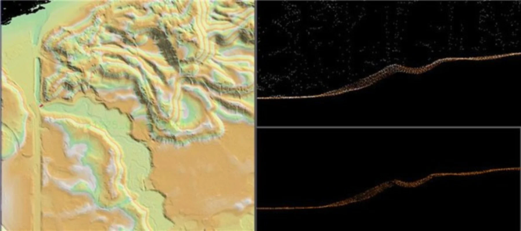
Solutions library
LiDAR & 3DIndiana
POINT CLOUD / INDIANA
More than 120 square miles of point cloud data were cleaned to remove terrain artifacts, pits, and voids.
MISSION PROFILE08 / 08
01 / OPERATIONAL BRIEF
THE
OBJECTIVE.
Correct ground-classification errors that created visible artifacts, pits, and voids in derived terrain products.
- Manned-aircraft LiDAR
- Current reference imagery
- Derived terrain surfaces
02 / ANALYTICAL METHOD
Locate anomalies in terrain surfaces
Review points in profile and plan view
Reclassify ground points in MicroStation and TerraModeler
03 / MISSION OUTCOMES
WHAT
CHANGED.
Reviewable intelligence built for the next decision, not the final presentation.
Ground artifacts removed
Terrain continuity restored
Quality-controlled tiles returned for downstream products
START WITH
THE MISSION.
Bring the requirement. Geo Owl brings intelligence professionals, GEOINT expertise, mission data, and technology to help you collect, understand, and act.
Bring Us Your Mission View our capabilities