Overview
Geo Owl’s AI/ML solutions bridge the gap between analytics, data science, and automation.
Which, in turn, accelerate successful digital transformations to drive informed decisions
and improve data performance.
Through our high-powered computing resources, Geo Owl is able to extract meaningful knowledge that can optimize geospatial operations and outcomes through automated processes.

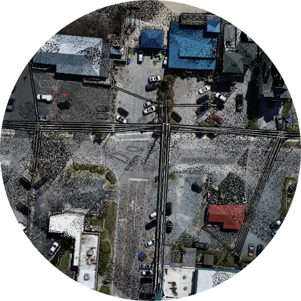
Digitization
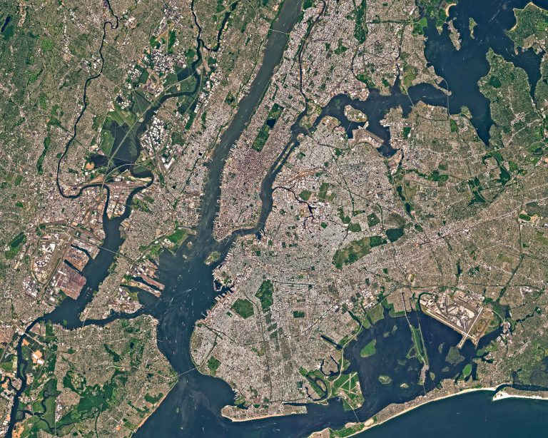
Geo Owl’s cadre of geospatial professionals have decades of experience precisely collecting and conditioning geospatial data at varying scales and in multiple formats. Geo Owl’s end-to-end solutions and services include a robust enterprise environment allowing for homogenous workflows and quick delivery to our customers.
Geo Owl’s analysts are trained in the latest GIS and remote sensing software and are fully equipped with high-end, multi-monitor workstations in a production facility capable of around-the-clock operations serving clients worldwide.
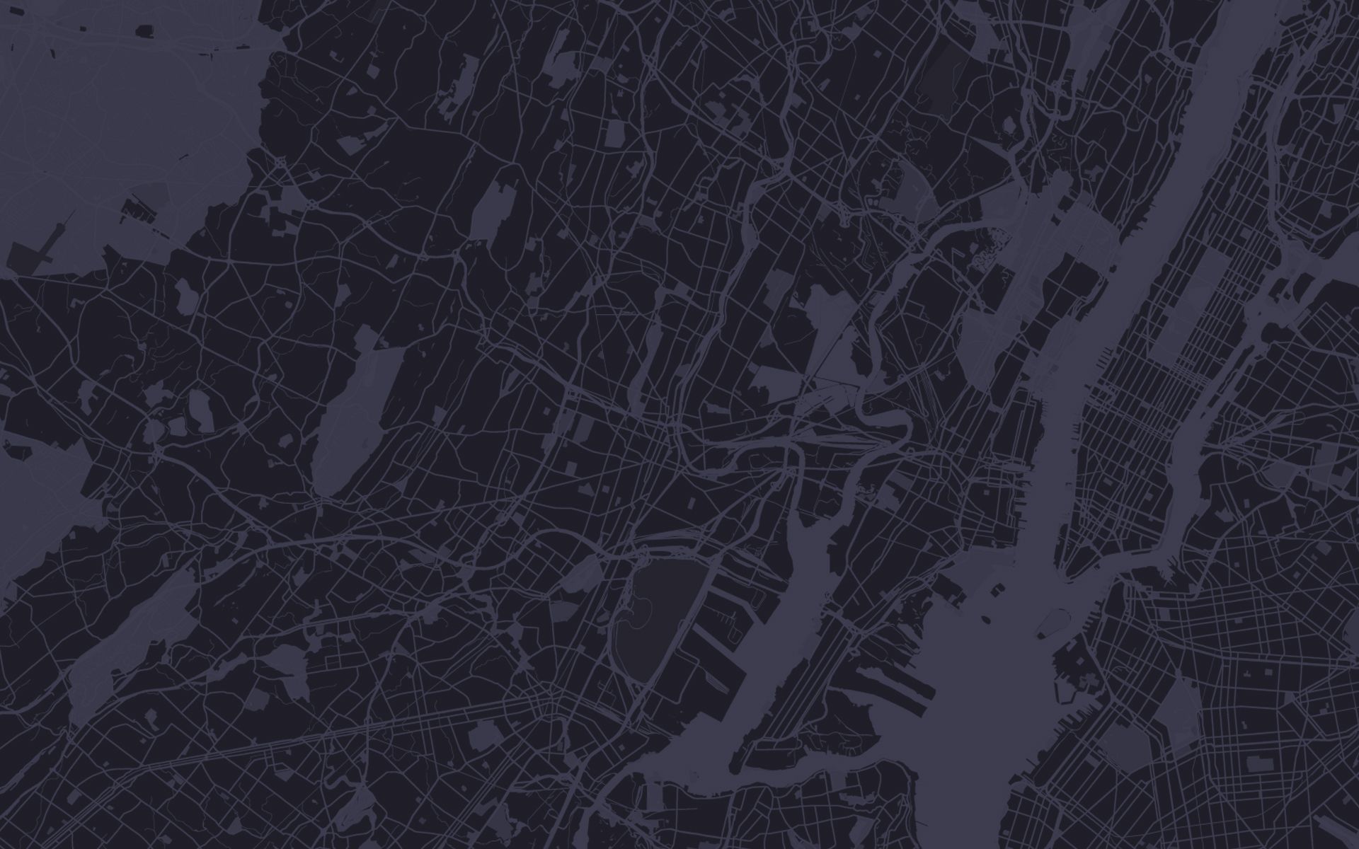
Custom Maps
Geo Owl not only offers subject-matter-experts at collecting and producing raw data, but a team of experienced cartographers who understand how to transform your data into meaningful, aesthetically pleasing mapping products tailored to your organization’s specific use-cases. Geo Owl has in-depth knowledge of the latest standards and trends in static and digital mapping to ensure the products we design and deliver meet and exceed our customers’ expectations.
We offer solutions at any scale and have the capabilities to print professional quality hard-copy products in addition to digital formats.
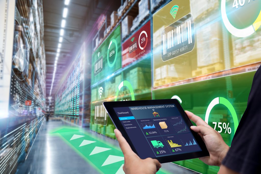
Asset & Facilities Management
Geo Owl offers the technologies and expertise necessary to track, maintain, and map your critical infrastructure or other pertinent assets. Coupled with our visualization services, Geo Owl has the capability to deliver end-to-end management and oversight of your holdings, allowing decision makers to stay informed and optimize planning, awareness, and security.

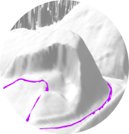
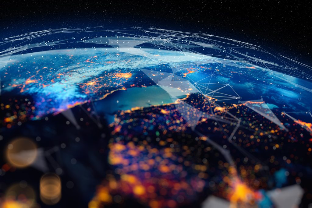
Artificial Intelligence & Machine Learning (AI/ML)
Geo Owl’s AI/ML solutions bridge the gap between analytics, data science, and automation. Which, in turn, accelerates successful digital transformations to drive informed decisions and improve data performance. Through our high-powered computing resources, Geo Owl is able to extract meaningful knowledge that can optimize geospatial operations and outcomes through automated processes.
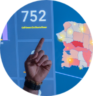
Data Analytics & Visualization
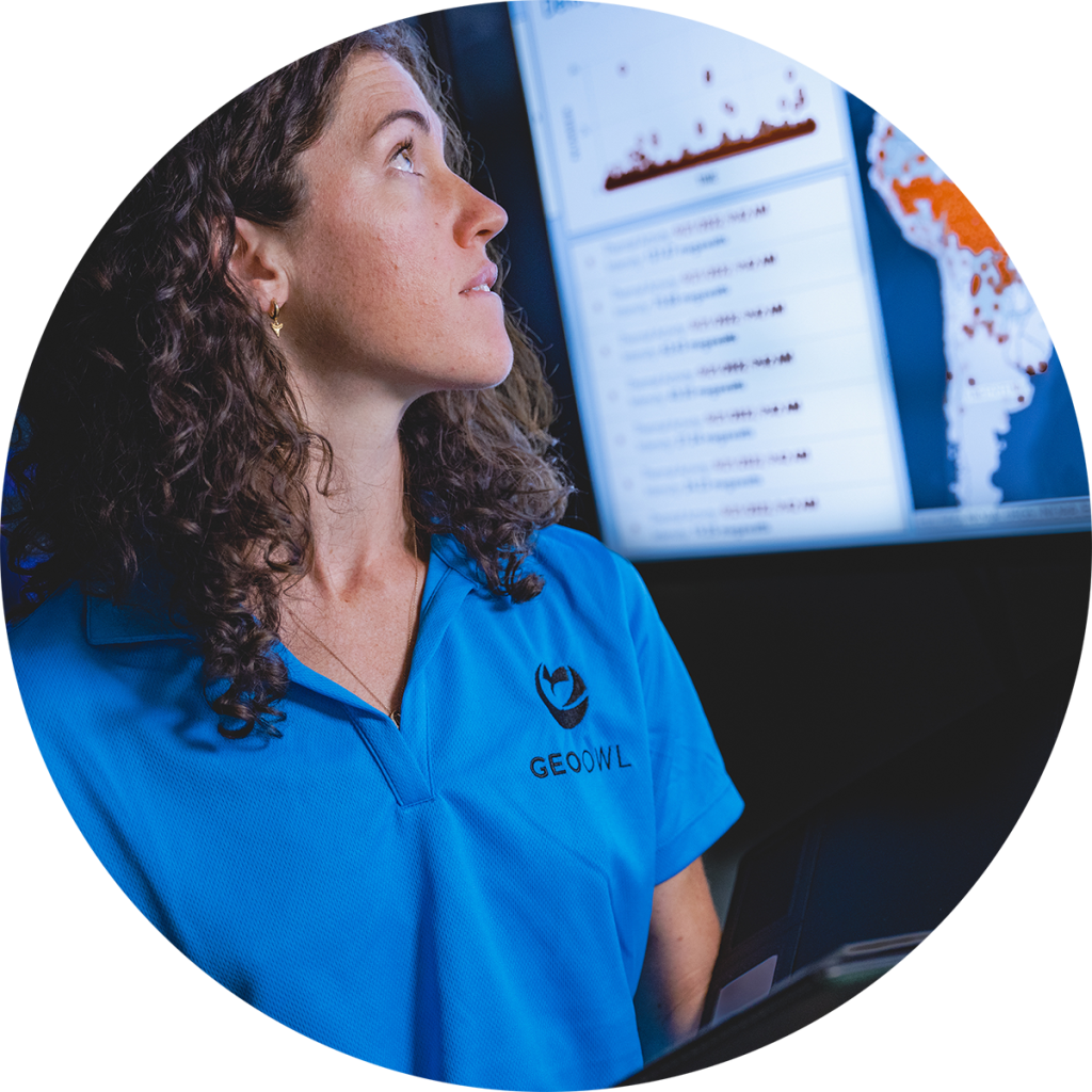
Geo Owl’s geospatial and data science professionals can help your organization conceptually and visually harness the power of your data. With 3D visualizations, charts, graphs, maps, and dashboards, in addition to trends, patterns, and relationships, you can view your organization’s data in new ways and from new perspectives unlocking valuable insights.
Geo Owl’s on-call staff also provide ad-hoc analytical and visualization services before, during, and after major events or catastrophes to empower our customers with products that relay real-time data, allowing for up to the minute situational awareness used to inform and make critical decisions.
Contact Us
Questions?
We will
always be
Vigilant