Geospatial analysis is the use of computerized methods to analyze and display data that has a geographic component.

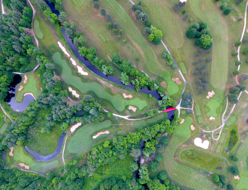
Geospatial analysis is the use of computerized methods to analyze and display data that has a geographic component. This can include data such as the locations of cities, the shapes of rivers, or the distribution of a particular species of animal. Geospatial technology refers to the tools and techniques used to perform this kind of analysis, such as geographic information systems (GIS) and global positioning systems (GPS). These technologies allow us to visualize and analyze data in a spatial context, which can provide valuable insights that would not be apparent from the raw data alone.