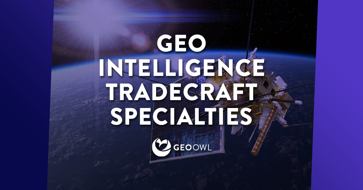
What Is Geospatial Intelligence? What is Geospatial Intelligence and what trades does it encompass? The term “geospatial intelligence,” also referred to as GEOINT, […]
What Is Geospatial Intelligence?
What is Geospatial Intelligence and what trades does it encompass? The term “geospatial intelligence,” also referred to as GEOINT, is the exploitation and analysis of imagery and geospatial information to describe, assess, and visually depict physical features and geographically referenced activities on the Earth. GEOINT consists of imagery, imagery intelligence, and geospatial information, and is a specialized field of practice within the intelligence community. GEOINT encompasses more than systems, technology, and processes – it is comprised of highly skilled professionals with a wide range of expertise. These GEOINT professionals represent and are drawn from a wide range of occupations comprising the GEOINT tradecraft. Below is a list of GEOINT tradecraft specialties:
- Aeronautical Analysis: The science of developing specialized representations of mapped natural and man-made features of the Earth and supplemental metadata specifically to aid air navigation, pilotage, or planning air operations.
- Cartography: The art and science of making maps and charts.
- Geodetic Sciences: The sciences of geodesy and geophysics that deal with information or Earth data pertaining to gravity, point positioning, datums, etc.
- Geospatial Analysis: The science of extracting meaning from geospatial data and using geographic information systems to uncover and investigate relationships and patterns in all forms of geospatial data to answer intelligence or military issues.
- Imagery Analysis: The science of converting information, extracted from imagery, into intelligence about activities, issues, objects, installations, and/or areas of interest.
- Imagery Sciences: The technical application of remote sensing towards the production of GEOINT products and services.
- Marine Analysis: The portrayal of specialized representations of oceanographic, hydrographic, bathymetric data, and supplemental metadata, required for maritime navigation, pilotage, or planning maritime operations.
- Regional Analysis: The geographic, geopolitical, or intelligence analysis of a particular country or area of the world.
- Source Analysis: Source analysts manage partner relationships, coordinate collection operations with mission partners or other disciplines, perform assessments of collection operations, and support information brokering activities. Source analysts also proactively develop strategies to identify and deliver sources most helpful to analysts in order to answer specific intelligence problems.
Geo Owl
Geo Owl is a mission-focused, impact-making intelligence team that serves Special Operations and the Department of Defense around the globe. We know that the GEOINT Community is rapidly growing, and this growth is projected to continue through the next decade and beyond. Consistent with this growth, increasing demand for talented GEOINT professionals with these specific tradecraft specialties requires an intentioned focus on building the workforce of tomorrow. Geo Owl recruiters work around the clock to find the world’s best and brightest to join their team of intel specialists. We are here to help you – What is geospatial intelligence? What trades does it encompass? How can my business take advantage of geospatial services? If you have a question or potential opportunity that our services can help with, feel free to reach out to us today!