As if 2020 didn’t have enough going on, the western states of California, Oregon, and Washington are coping with one of their worst […]
As if 2020 didn’t have enough going on, the western states of California, Oregon, and Washington are coping with one of their worst wildfire seasons to date. Thankfully, geospatial technology services have helped contain and reduce the spread of wildfires.
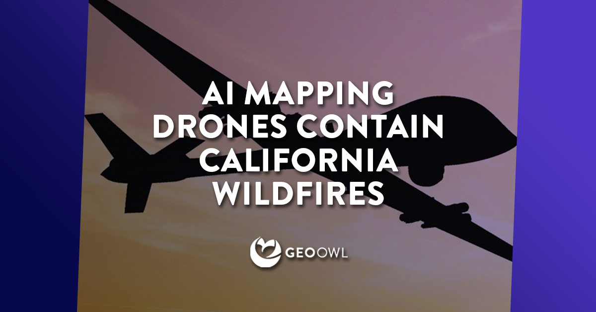
More than 3 million acres of California land has been turned to ashes and 11 lives have been lost due to the wildfires taking over the (soot-covered) golden state. This natural disaster seems like it couldn’t get any worse, but without AI mapping drones from the March Air Reserve Base helping map fire destruction and providing firefighters detailed images within minutes, the situation could have easily blown up. In years past, the mapping that the National Guard provides after analyzing wildfire surveillance footage can take up to six hours. This leaves the information out to date as soon as it’s released due to the fact that wildfires can burn as fast as 14 miles per hour in grasslands.
Cartogr-AI-phy
Since 2017 and continuing this year, the Pentagon is in partnership with the California Department of Forestry and Fire Protection, known as CalFire, by testing geospatial technology services and artificial intelligence algorithms to scan a video and generate a map of the fire within minutes. This technology teamwork will not only benefit the next year’s seemingly inevitable wildfire crisis by having reliable preventative measures before the disaster occurs, and can also help the Pentagon’s Joint Artificial Intelligence Center develop other AI missions in the future such as hurricane relief.
In times like this, having the knowledge and ability to use GEOINT, geospatial technology services, and map productions is the difference between life or death. Within the next few years, the Air National Guard 163rd Attack Wing and CalFire are in the works on generating an AI map maker to be integrated into the everyday geospatial technology services process of fighting fires with systems that allow mobile access to the maps for those in the field. The wildfire AI missions have the potential to save thousands of acres of land, hundreds of lives, and generate new projects that could eventually do the same.
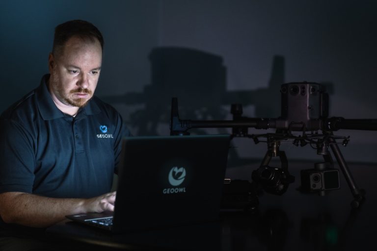
Geo Owl – Geospatial Technology Services
Geo Owl is a mission-focused, impact-making intelligence team that serves Special Operations and the Department of Defense around the globe. We know that the GEOINT Community is rapidly growing, and this growth is projected to continue through the next decade and beyond. Consistent with this growth, increasing demand for talented GEOINT professionals with these specific tradecraft specialties requires an intentioned focus on building the workforce of tomorrow. Geo Owl recruiters work around the clock to find the world’s best and brightest to join their team of intel specialists. We are here to help you – What is geospatial intelligence? What trades does it encompass? How can my business take advantage of geospatial technology services? If you have a question or potential opportunity that our services can help with, feel free to reach out to us today!